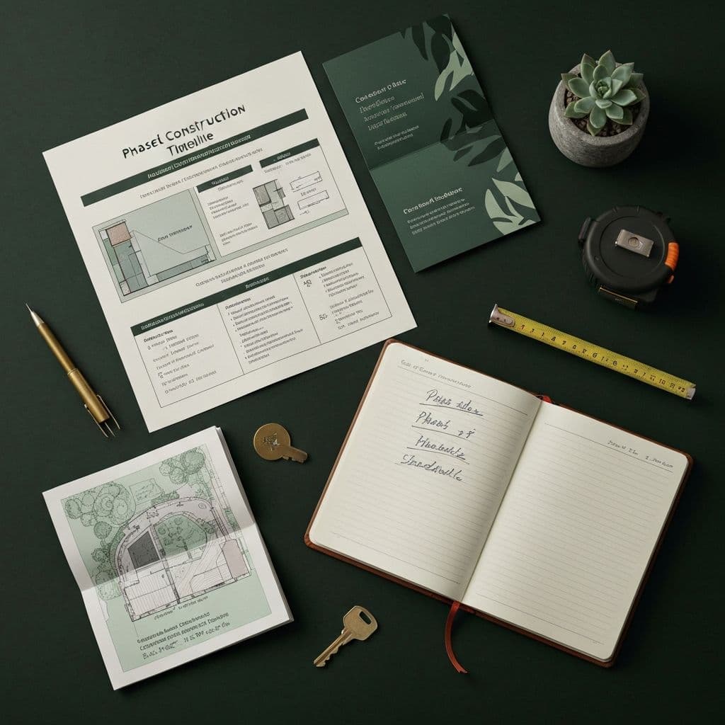
Plan Deliverables
05 / 05- Topographic Survey (internal use only)
- 3D Rendering
- Material & Finish Boards
- Detailed Planting Plan
- Phase Schedule & Timeline
Site Planning & Visualization
See your finished landscape before construction begins. We map every slope, shadow, and sight line, then render it in 3D so there are zero surprises when the crew arrives.
Portland · Beaverton · SW Washington ·
OR LCB# 9957 · WA GCC# OLGUICL807RZ · Free Estimates
The Process
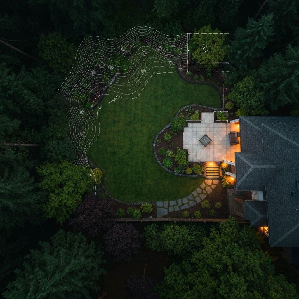
A great build starts with a great map. Before any design work begins, we walk your entire property, documenting elevation changes, drainage flow, sun and shade patterns, mature tree root zones, and utility locations. That field work informs every decision downstream. It's how we avoid the costly surprises that show up mid-construction on jobs that skipped this step.
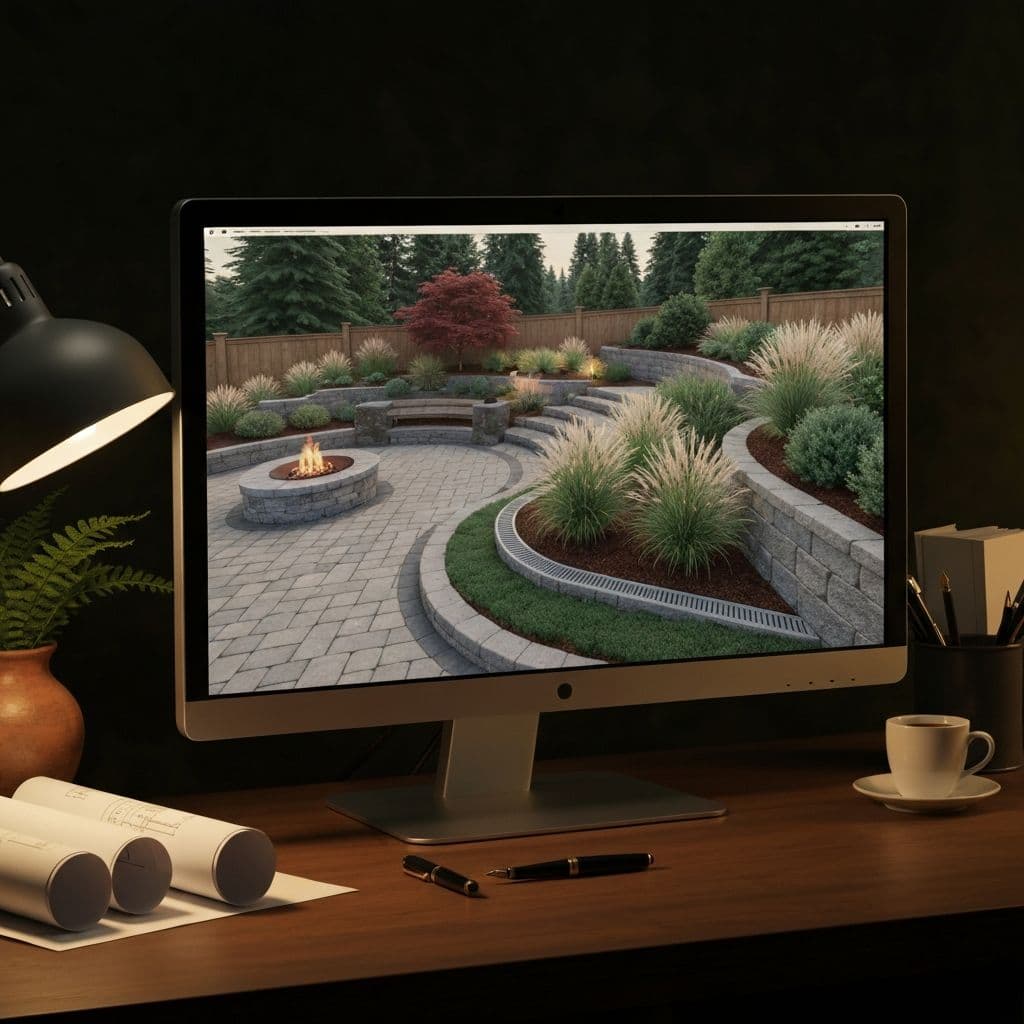
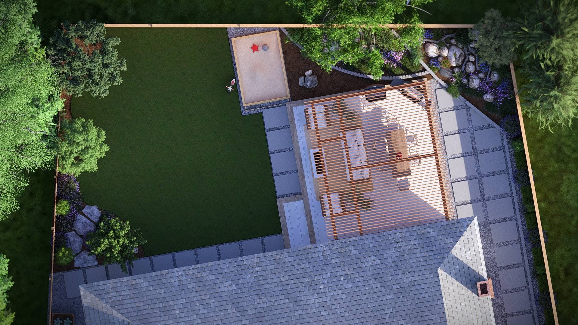
From that foundation, we produce a full 3D site plan. You'll see your finished landscape, materials, plants, structures, and lighting, before any ground is broken. What you approve on paper is exactly what we build. No guesswork. No handoffs. The team that designs it builds it.
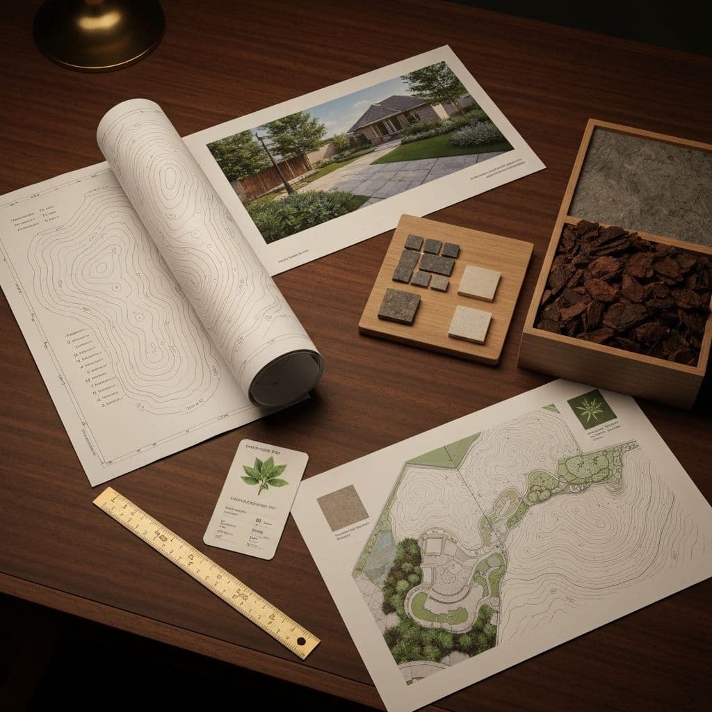
5core dimensions
We survey every inch: slopes, drainage paths, sun and shade zones by season, existing trees, and underground utilities, all documented before a line is drawn.
Elevation changes, grading requirements, and water flow patterns are recorded and mapped. This is how we catch drainage problems before they become your problem.
A photo-realistic render of your finished landscape. Review your materials, plants, and structures in context, at your actual yard's scale, before any ground is broken.
See how your chosen pavers, stone, and plants look together in your actual space. Swap options, adjust combinations, and finalize selections before anything is ordered.
For larger or multi-phase projects, we map a build sequence that keeps your property functional and livable throughout construction.
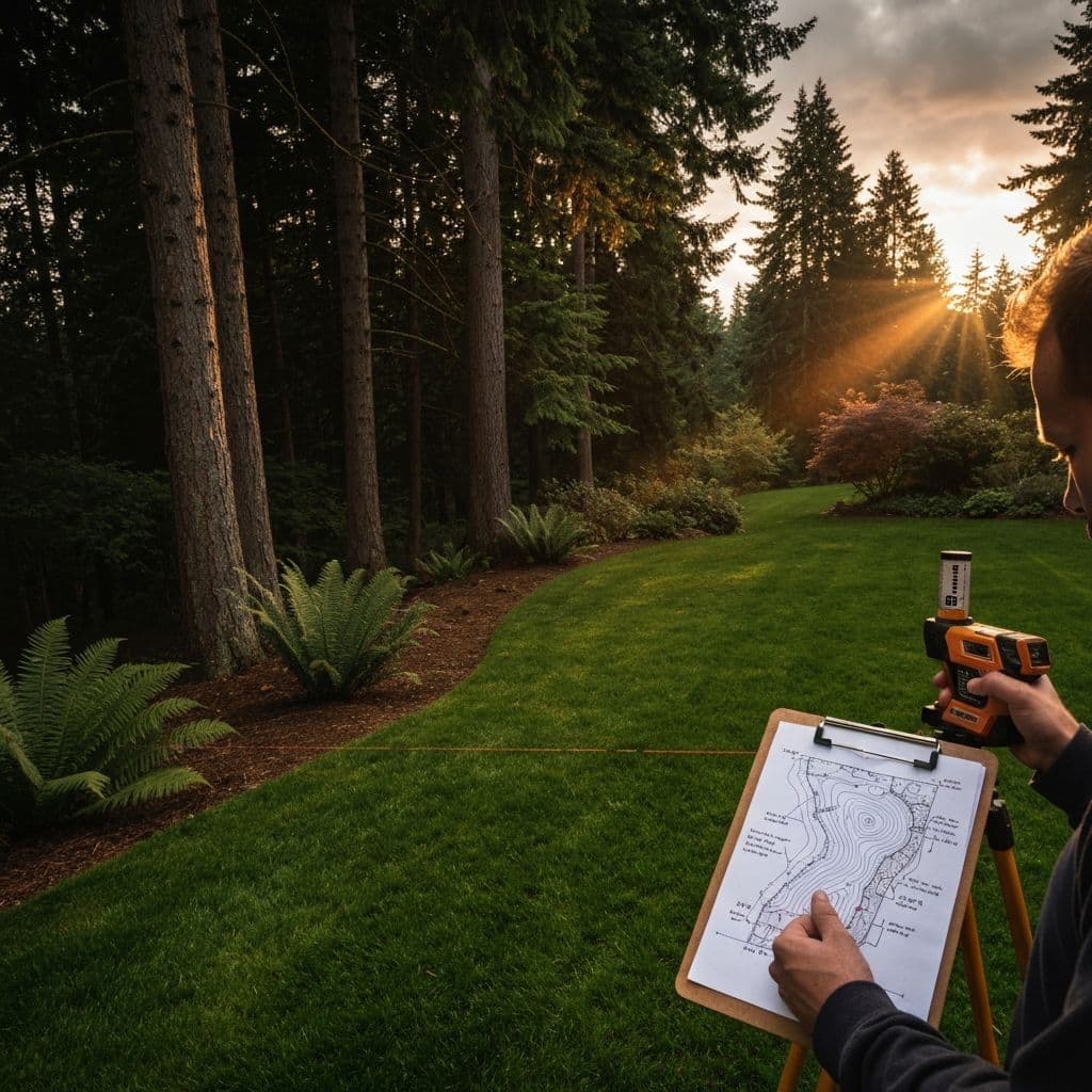
Site analysis is field work, done by hand, on the ground. Every slope, shadow, drainage line, and root zone is documented before a designer touches the file.
Survey property slope, drainage patterns, and soil conditions on day one
Map sun exposure and shade zones from morning to afternoon, season to season
Locate utilities, mature root zones, and the structural givens that shape design
What you approve on screen is exactly what we build. The team that draws it builds it, same crew, no handoffs, no surprises.
Draft initial concept from your survey, lifestyle goals, and site constraints
Build a 3D model with accurate materials and plants rendered exactly in place
Revise until it’s right, then hand the build team the same approved plan
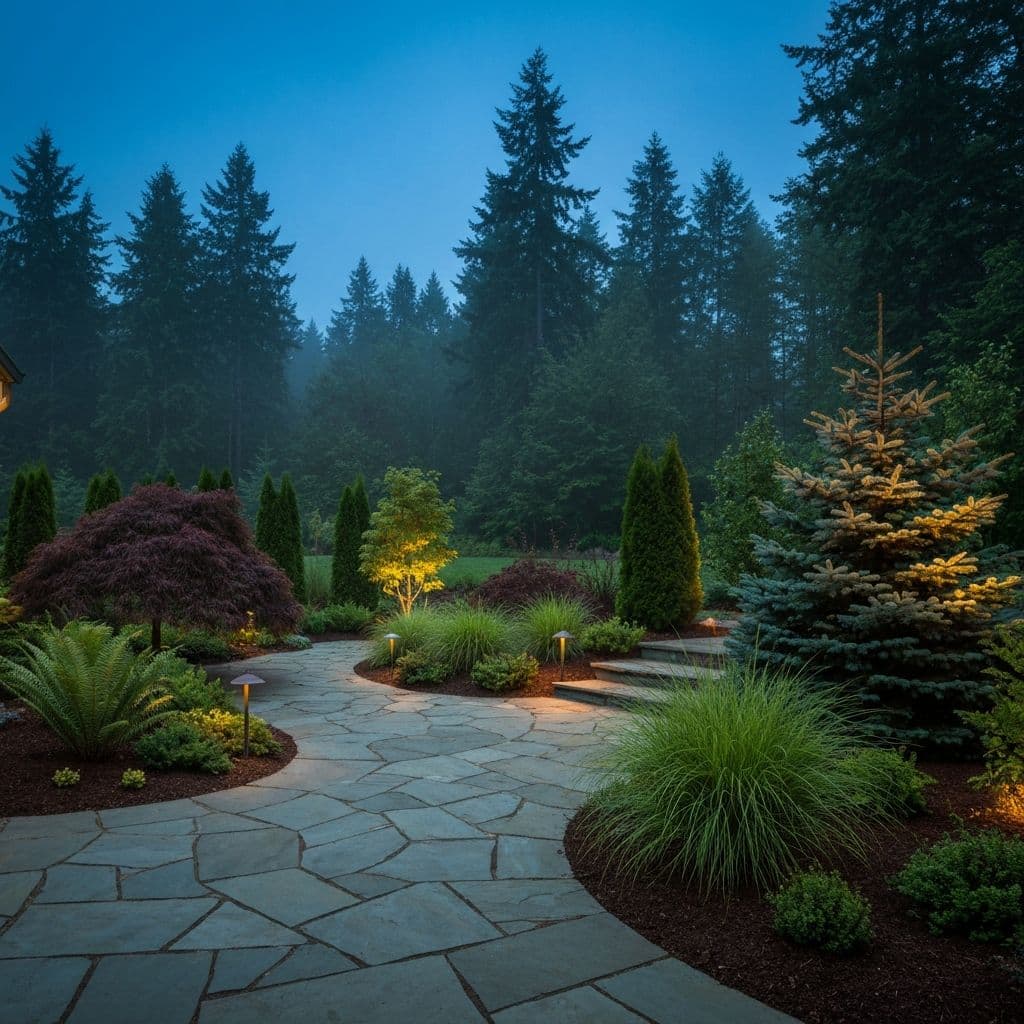
The Pacific Northwest doesn't forgive poor planning. A patio that ignores afternoon sun sits empty all summer. A yard without proper grading turns into a muddy mess every November. We plan precisely so you build once, and spend the next twenty years enjoying it, not fixing it.
“Measure once, build once, and then never have to rebuild.”